ছবি:Map of Texas highlighting Brewster County.svg

এই SVG ফাইলের জন্য এই PNG প্রাকদর্শনের আকার: ৬৩১ × ৬০০ পিক্সেল। অন্যান্য আকারসমূহ: ২৫৩ × ২৪০ পিক্সেল | ৫০৫ × ৪৮০ পিক্সেল | ৮০৮ × ৭৬৮ পিক্সেল | ১,০৭৭ × ১,০২৪ পিক্সেল | ২,১৫৫ × ২,০৪৮ পিক্সেল | ১২,৪৭৩ × ১১,৮৫৫ পিক্সেল।
আয়ৌপা ফাইলগ (SVG ফাইল, সাধারনত ১২,৪৭৩ × ১১,৮৫৫ পিক্সেল, ফাইলর সাইজহান: ৩০৪ কিলোবাইট)
সারাংশ
| বারে |
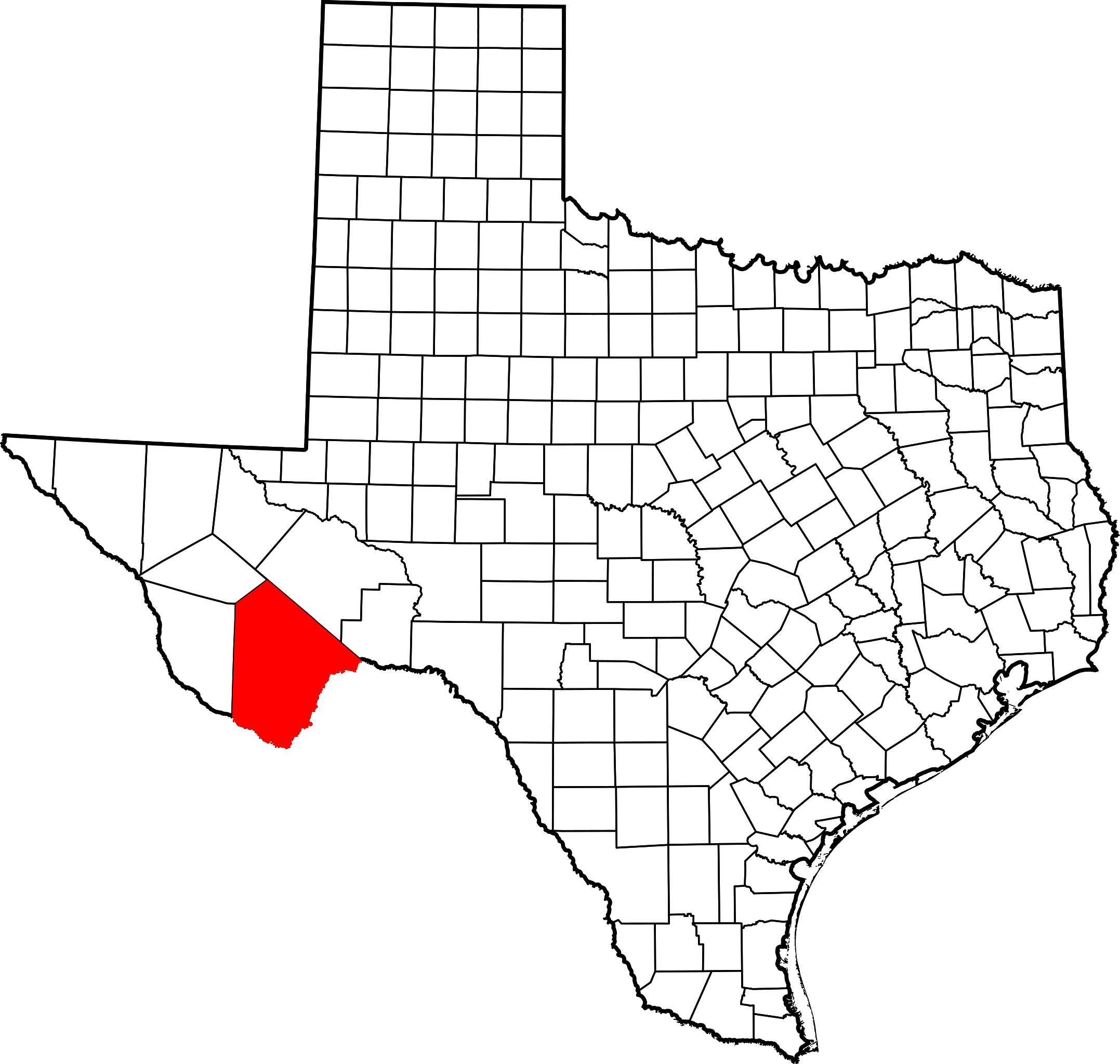
English: This is a locator map showing Brewster County in Texas. For more information, see Commons:United States county locator maps. |
| তারিখ | |
| উৎস |
নিজের কাজ: English: The maps use data from nationalatlas.gov, specifically countyp020.tar.gz on the Raw Data Download page. The maps also use state outline data from statesp020.tar.gz. The Florida maps use hydrogm020.tar.gz to display Lake Okeechobee. |
| ইকরেকুরা | David Benbennick |
লাইসেন্সহান
| আমি, এই কাজের স্বত্বাধিকারী, এতদ্দ্বারা আমি এই কাজকে পাবলিক ডোমেইন লাইসেন্সের আওতায় প্রকাশ করলাম। এটি বিশ্বব্যাপী প্রযোজ্য হবে। কিছু দেশে এটি আইনত সিদ্ধ নাও হতে পারে, যদি তাই হয়: আমি যে-কাউকে এই কাজটি যেকোনো উদ্দেশ্যে, বিনাশর্তে ব্যবহারের অনুমতি প্রদান করছি, যদি না সেই শর্তগুলো আইনত প্রয়োজনীয় হয়। |
ফাইলর ইতিহাস
দিন/সময়-র গজে যাতিলে ঔ খেন্তাম পেয়া হঙিসে ফাইলগ চ পারতেই।
| দিন/সময় | হুরকাকরে ফটকগি | চাঙহান | আতাকুরা | মতহান | |
|---|---|---|---|---|---|
| এপাগা | ১৬:৪১, ১২ ফেব্রুয়ারী ২০০৬ | | ১২,৪৭৩ × ১১,৮৫৫ (৩০৪ কিলোবাইট) | David Benbennick | {{subst:User:Dbenbenn/clm|county=Brewster County|state=Texas|type=county}} |
জুরিসিতা
এরে ফাইলর লগে পাতার মিলাপ আসে:
ফাইলের বৈশ্বিক ব্যবহার
নিচের অন্যান্য উইকিগুলো এই ফাইলটি ব্যবহার করে:
- ar.wikipedia.org-র ব্যবহারহান
- be.wikipedia.org-র ব্যবহারহান
- bg.wikipedia.org-র ব্যবহারহান
- cdo.wikipedia.org-র ব্যবহারহান
- ceb.wikipedia.org-র ব্যবহারহান
- cs.wikipedia.org-র ব্যবহারহান
- cy.wikipedia.org-র ব্যবহারহান
- de.wikipedia.org-র ব্যবহারহান
- el.wikipedia.org-র ব্যবহারহান
- en.wikipedia.org-র ব্যবহারহান
- List of counties in Texas
- Brewster County, Texas
- Alpine, Texas
- Marathon, Texas
- Study Butte-Terlingua, Texas
- Terlingua, Texas
- Boquillas, Texas
- Persimmon Gap
- Marathon Uplift
- Template:Brewster County, Texas
- Category:Wikipedia requested photographs in Brewster County, Texas
- Lajitas, Texas
- User:Nyttend/County templates/TX/1
- Chalk Mountains (Texas)
- A. S. Gage Ranch
- Terlingua Creek
- Rosenfeld, Texas
- Altuda, Texas
- Study Butte, Texas
- Template:BrewsterCountyTX-geo-stub
- Foley County, Texas
- Glenn Springs, Texas
- Luna Jacal
- Castolon
- National Register of Historic Places listings in Brewster County, Texas
- Category:Populated places in Brewster County, Texas
- Arick Village, Texas
- Mariscal Mine
- Rancho Estelle
- Homer Wilson Ranch
এই ফাইলের অন্যান্য বৈশ্বিক ব্যবহার দেখুন।